
Wandelingen langs gebouwen van 1900 tot 2000
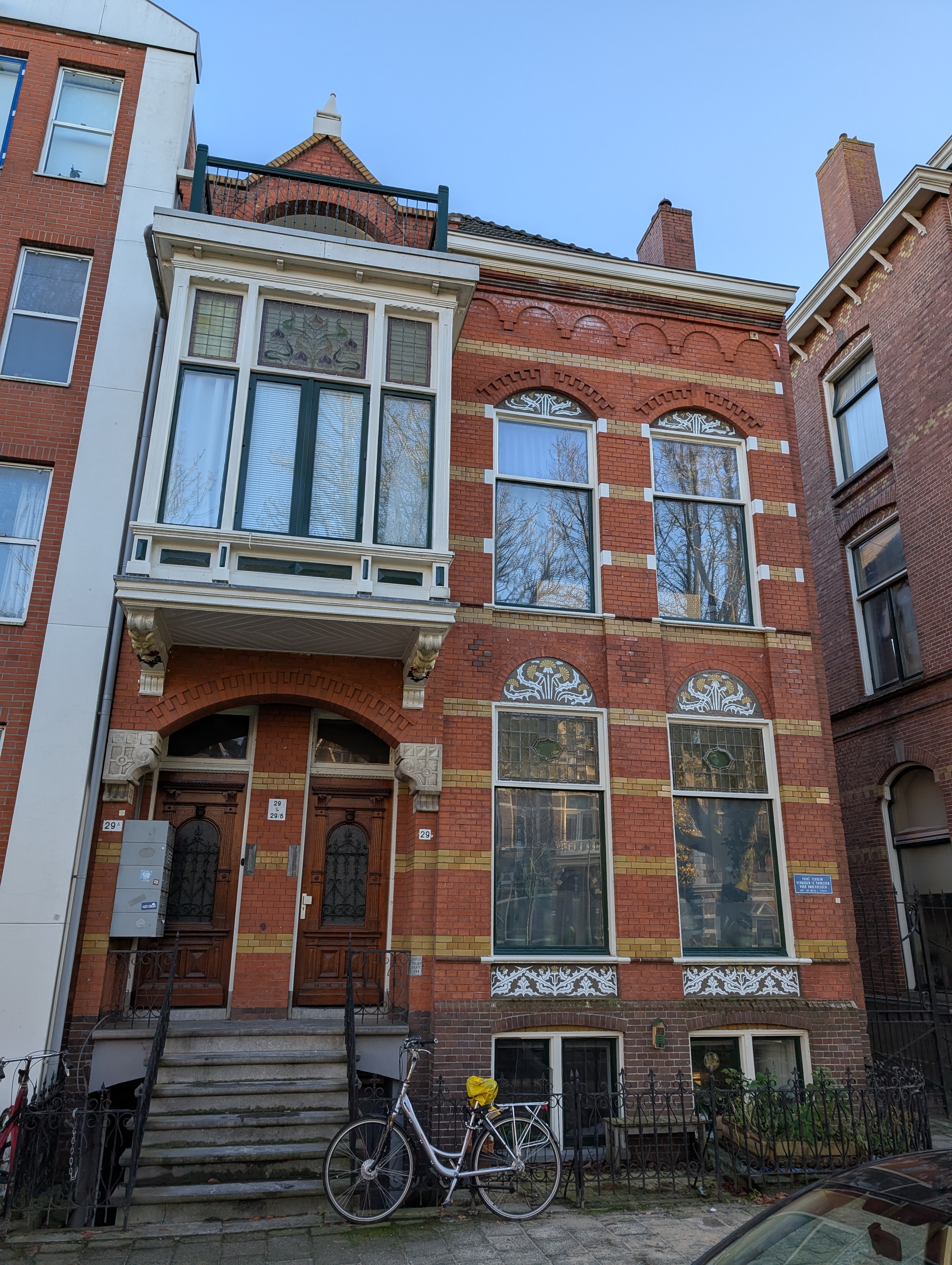
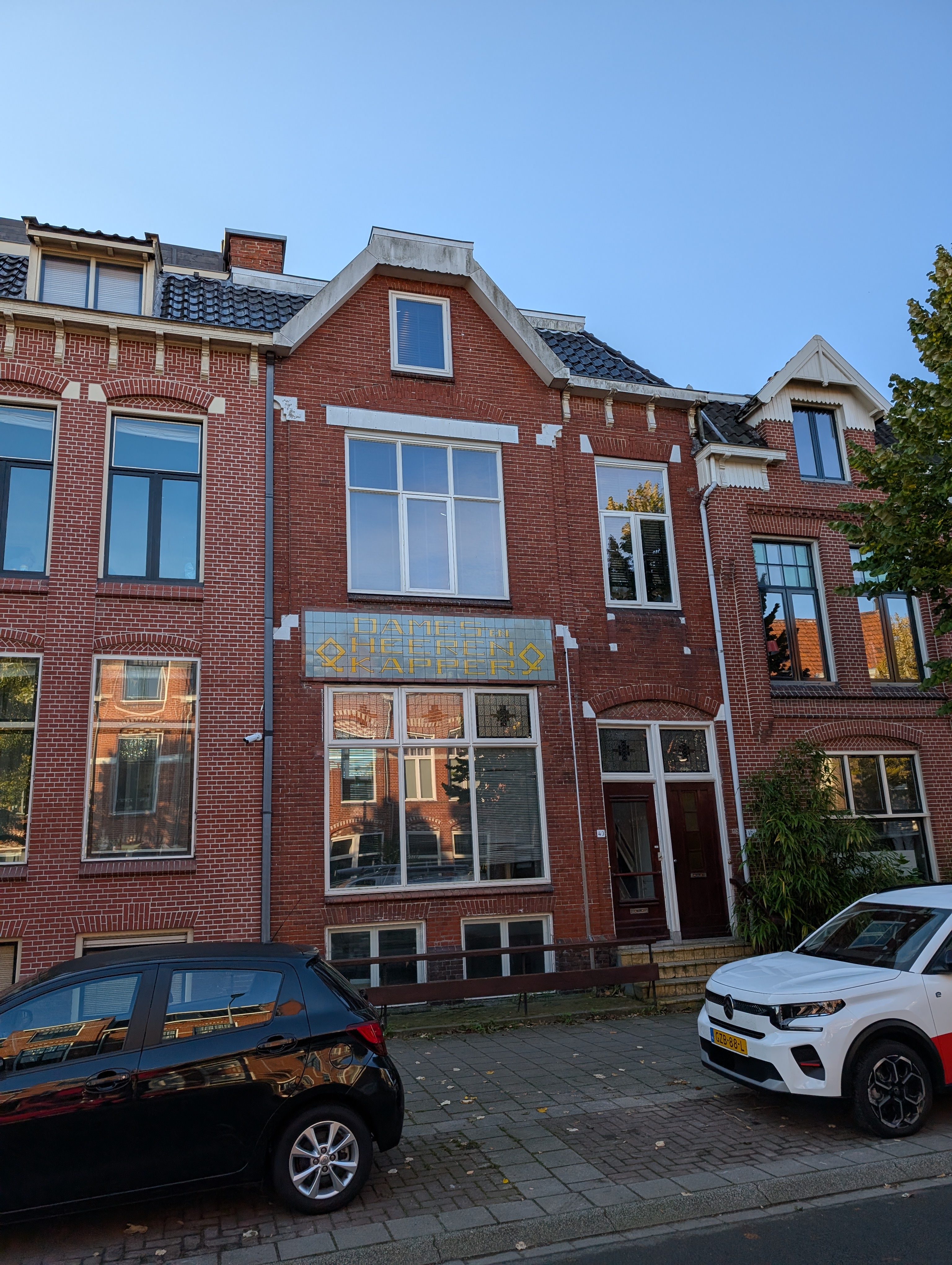
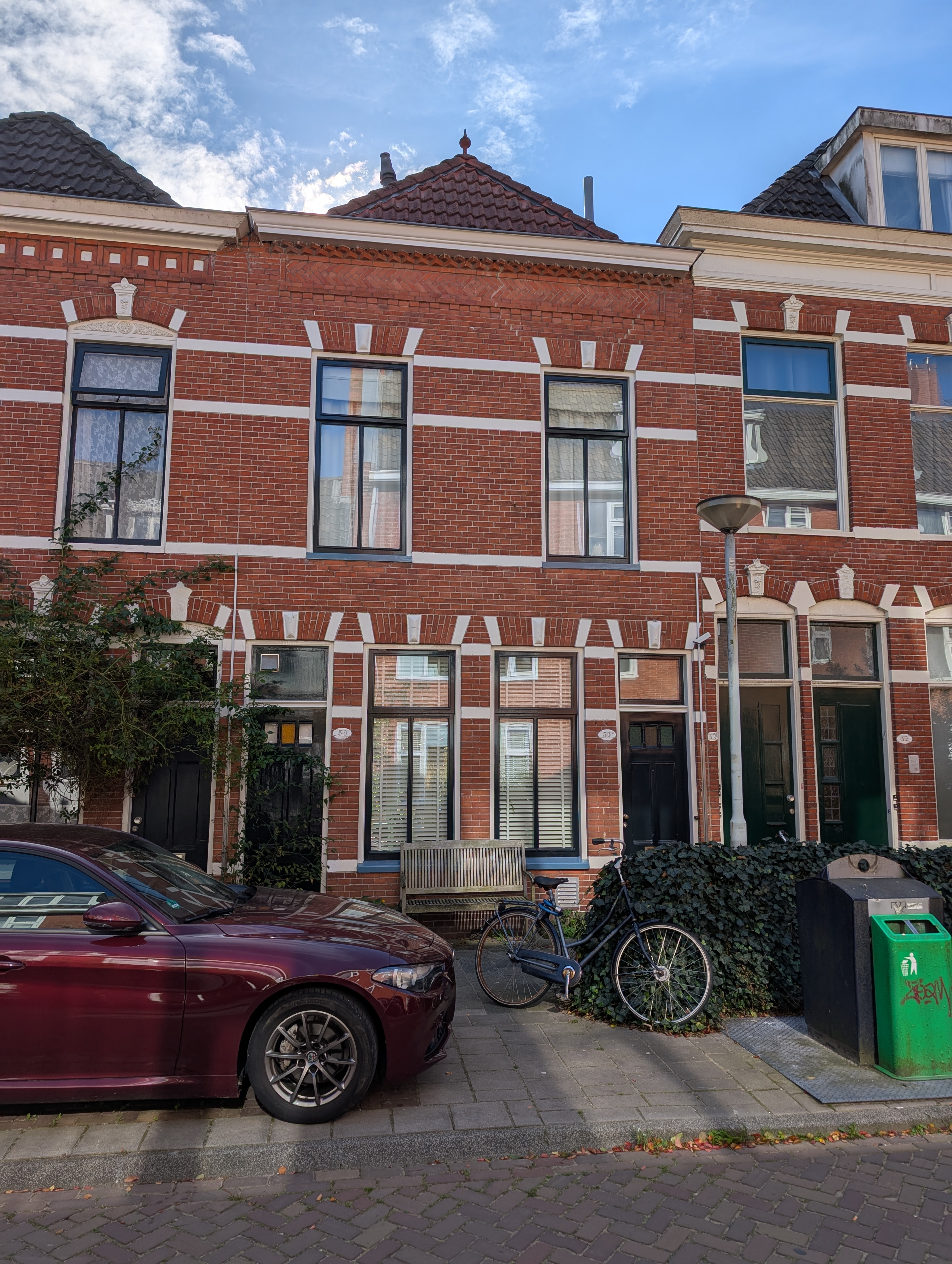
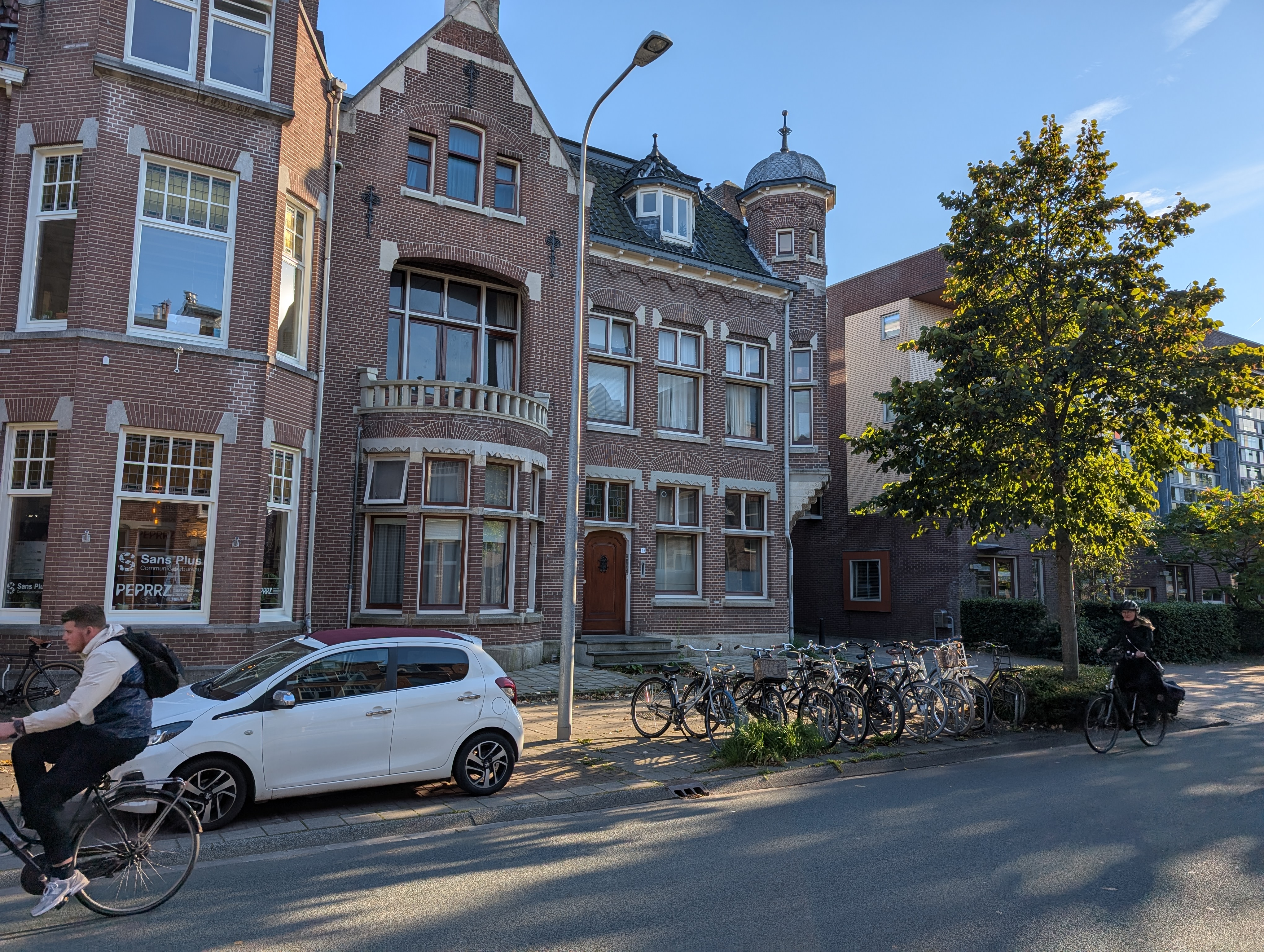
1900
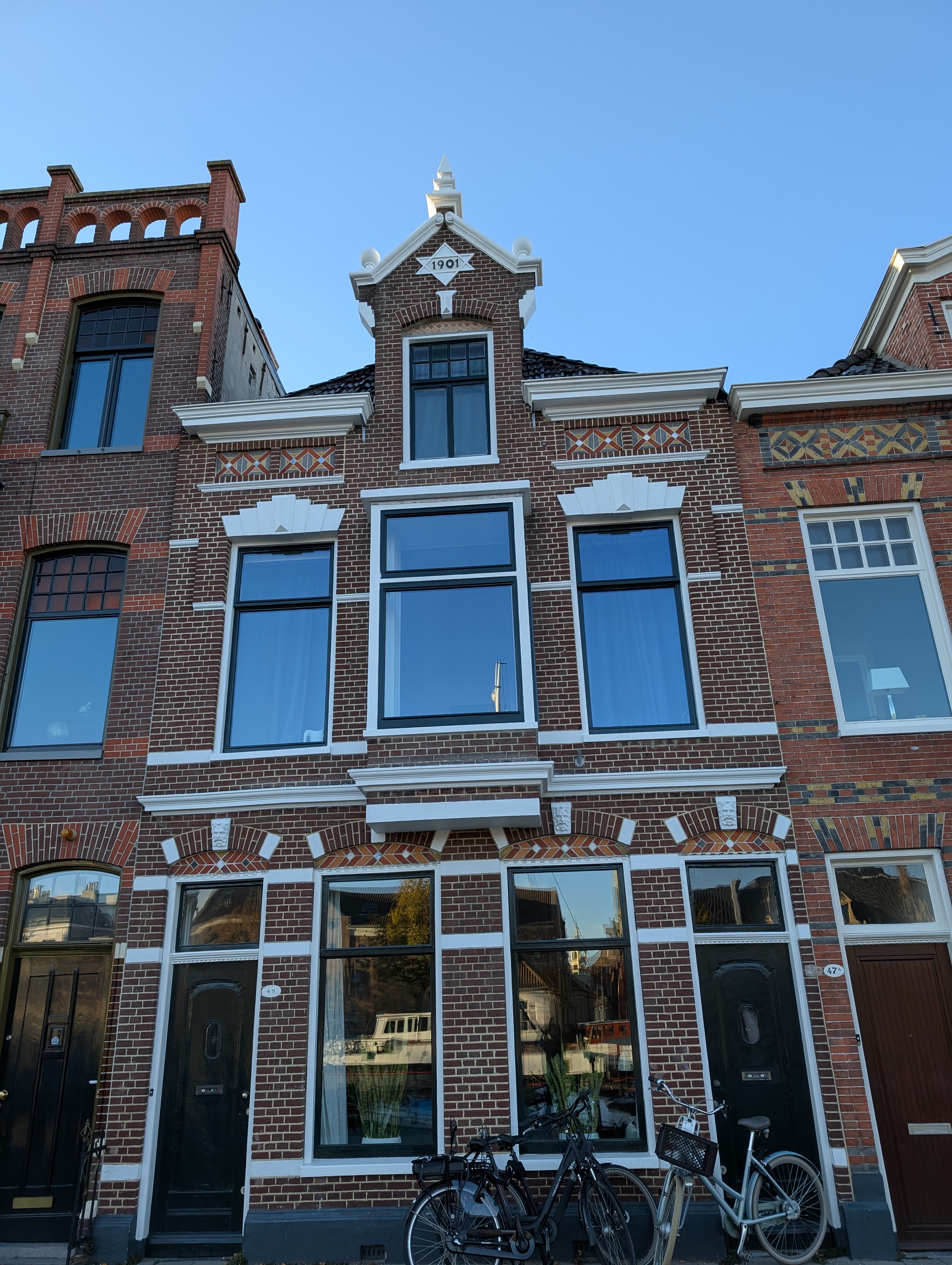
1901
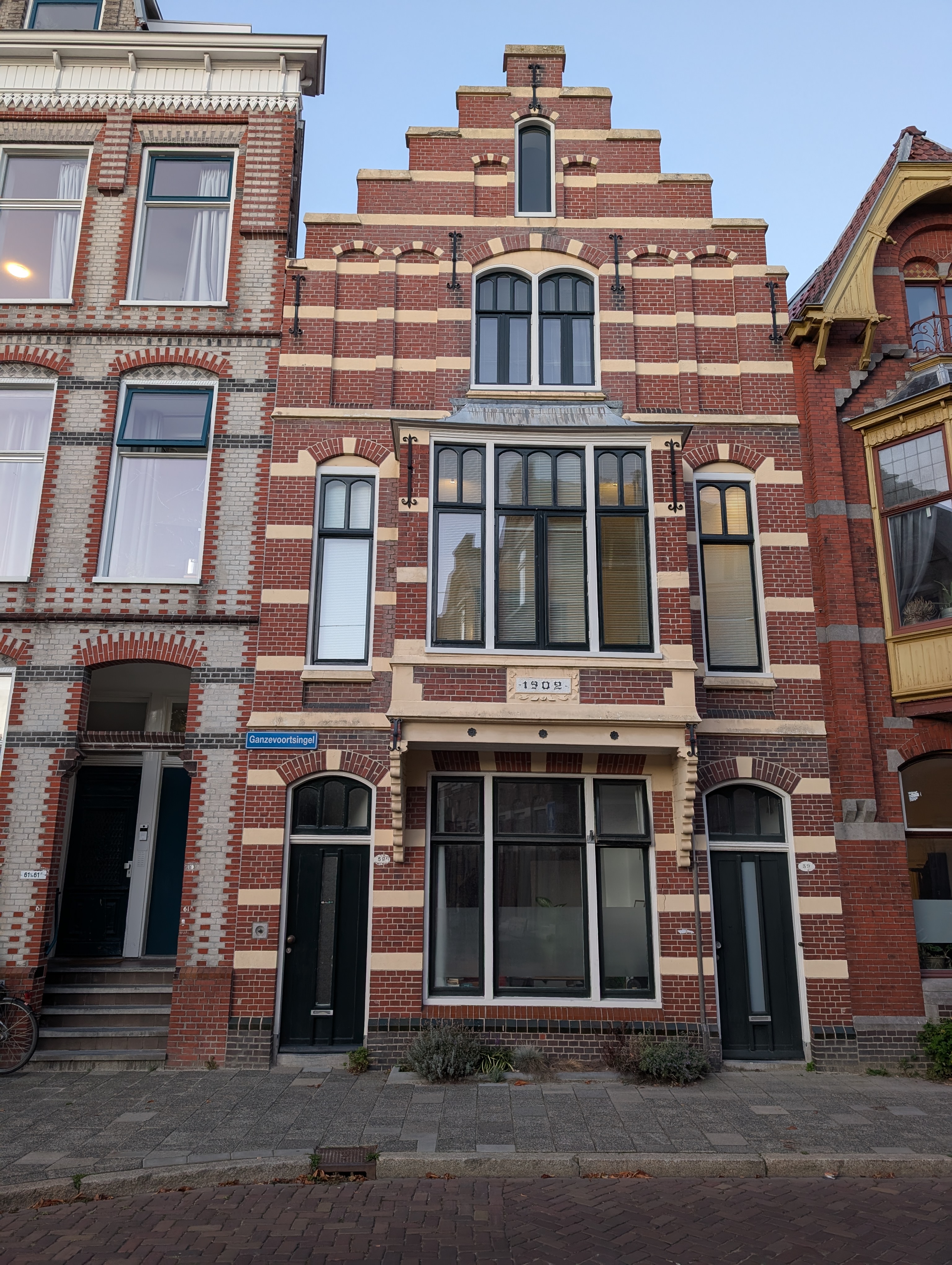
1902
1903
1904
1905
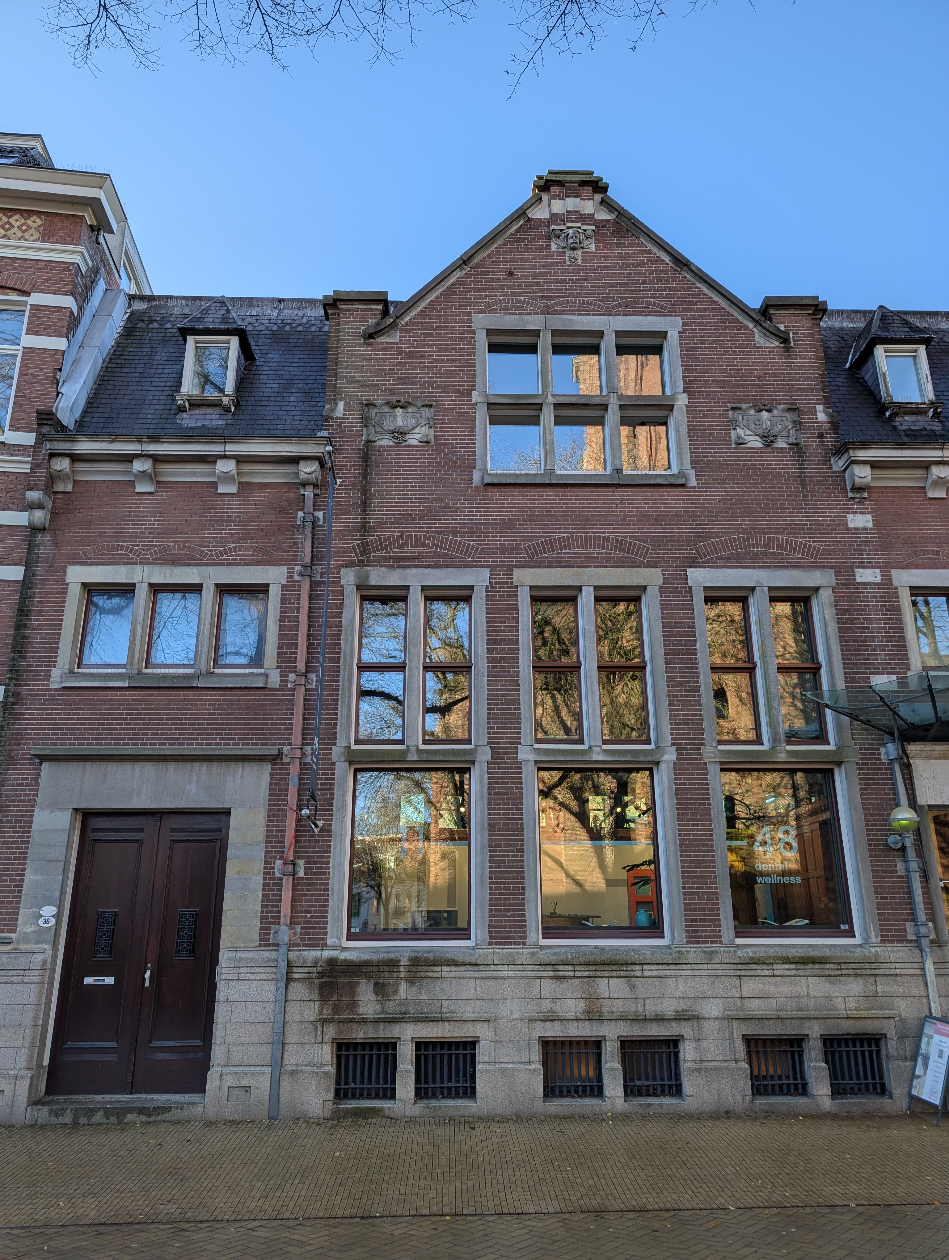
1906
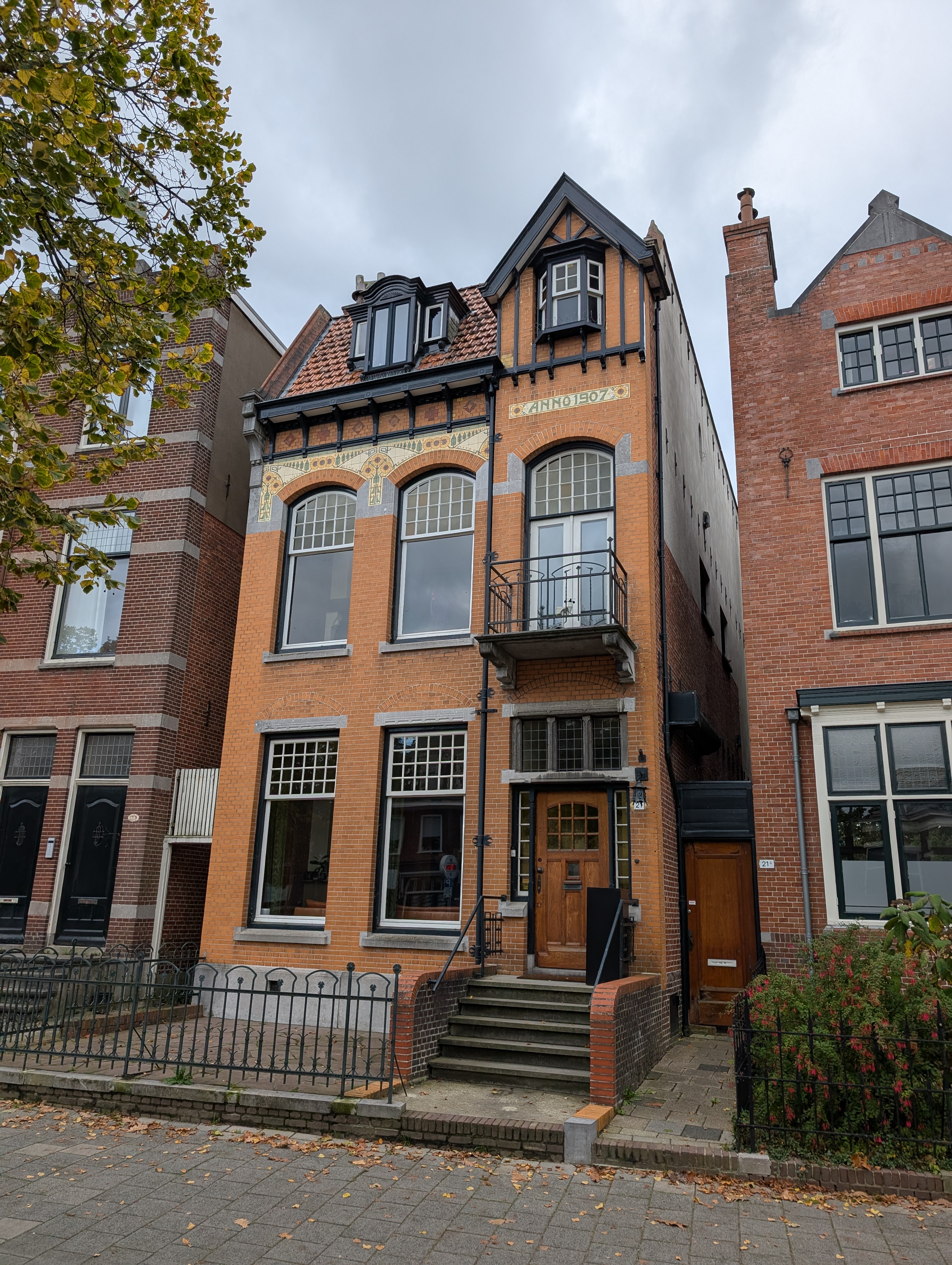
1907
1908

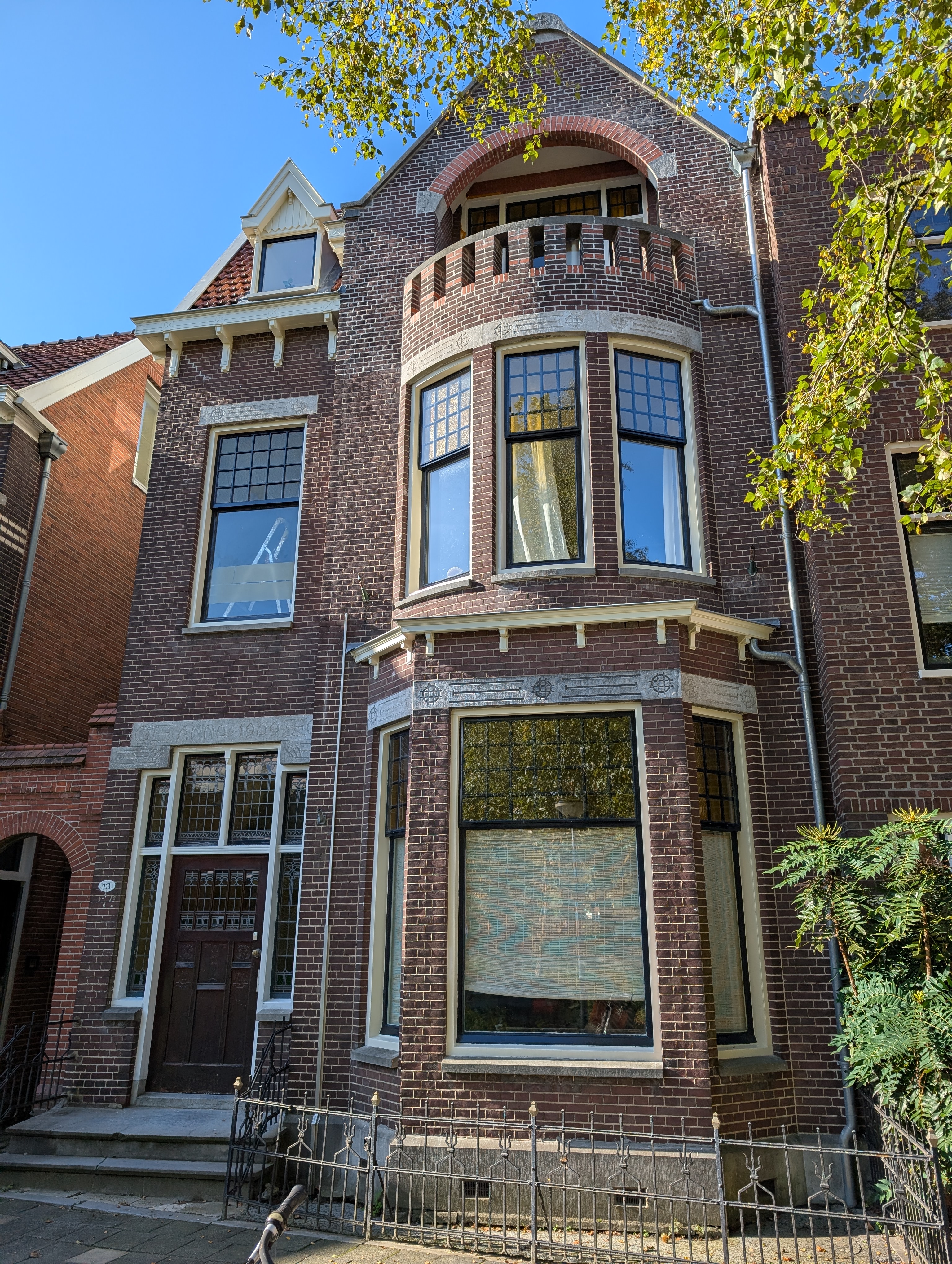
1909
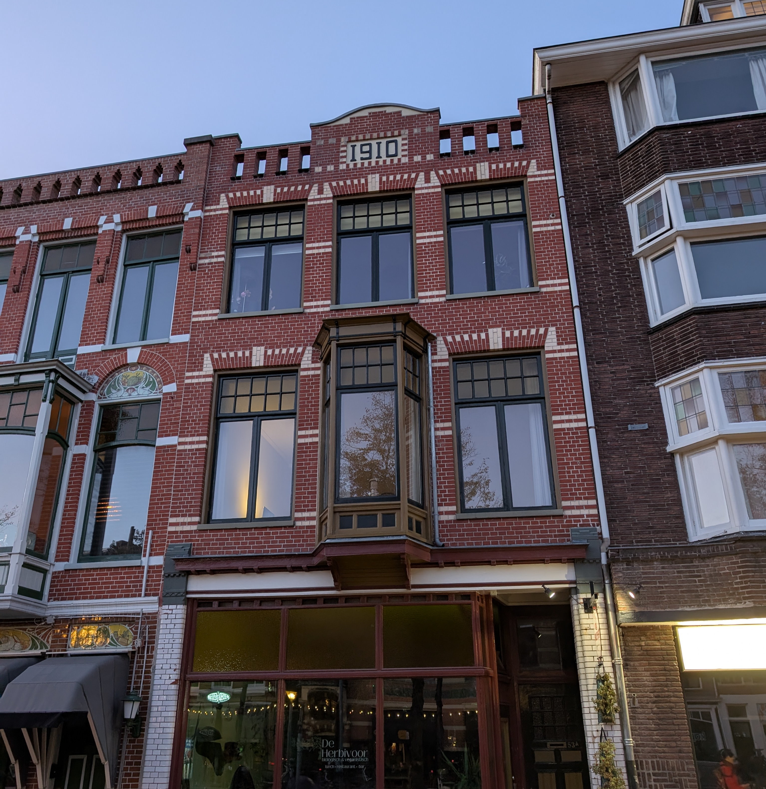
1910
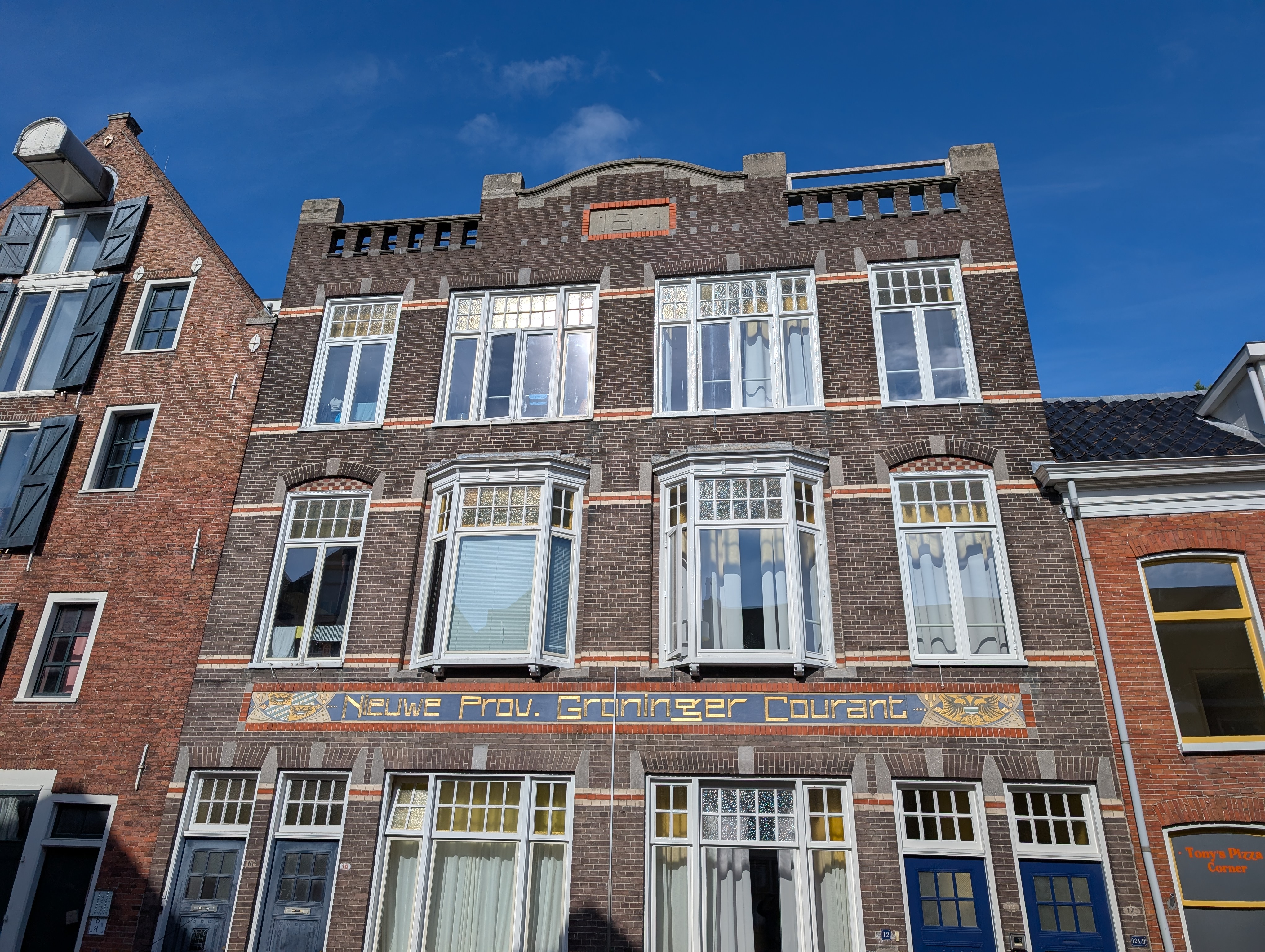
1911
1912
1913
1914

1915
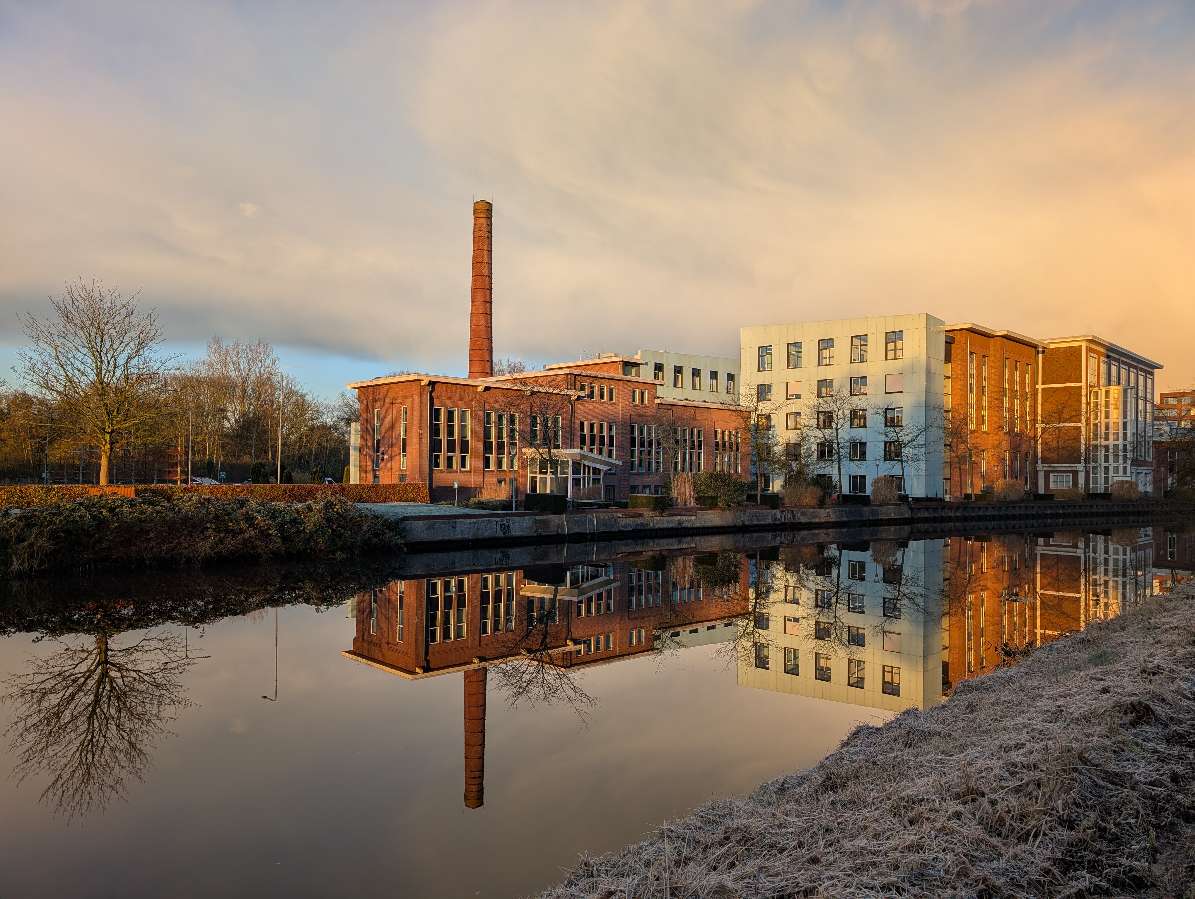
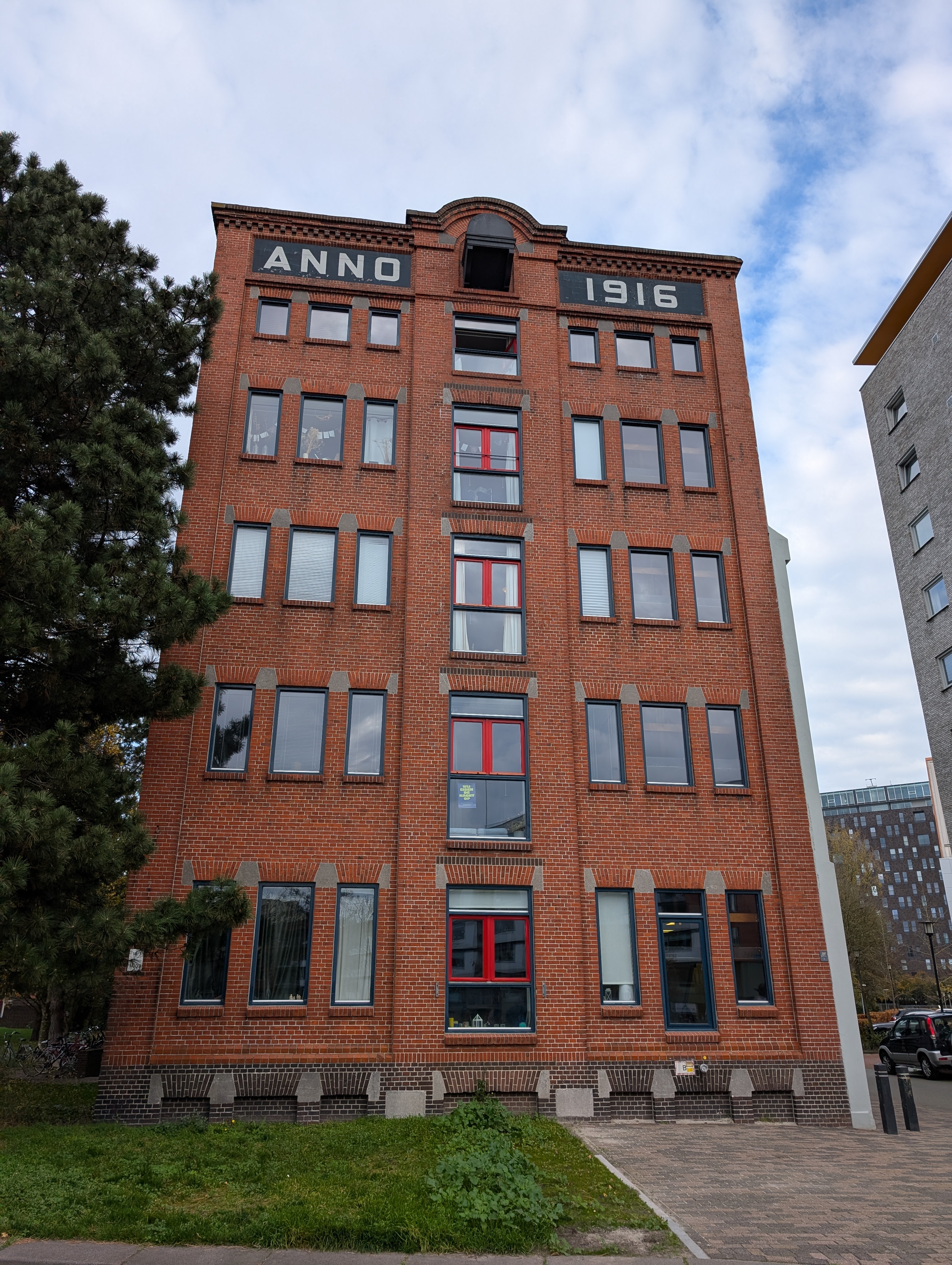
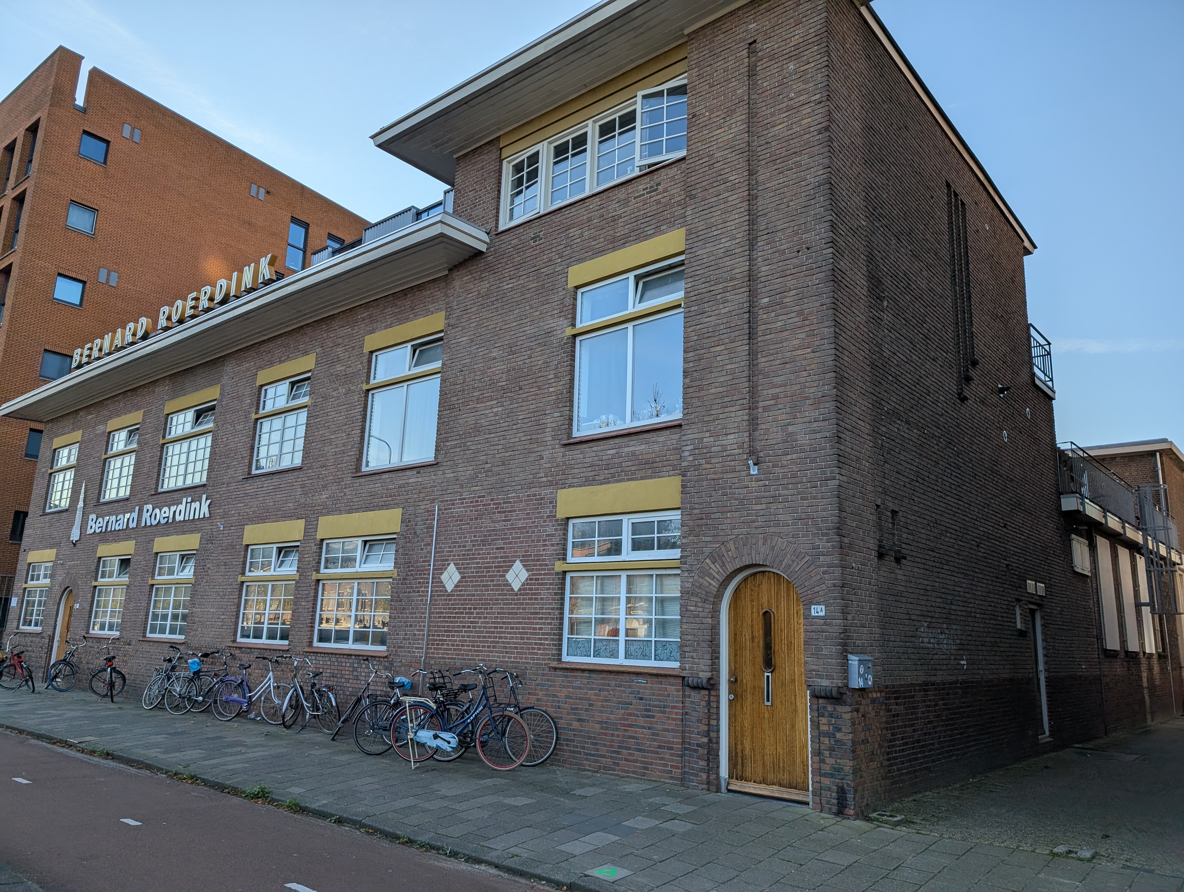
1916
1917
1918
1919
1920
1921
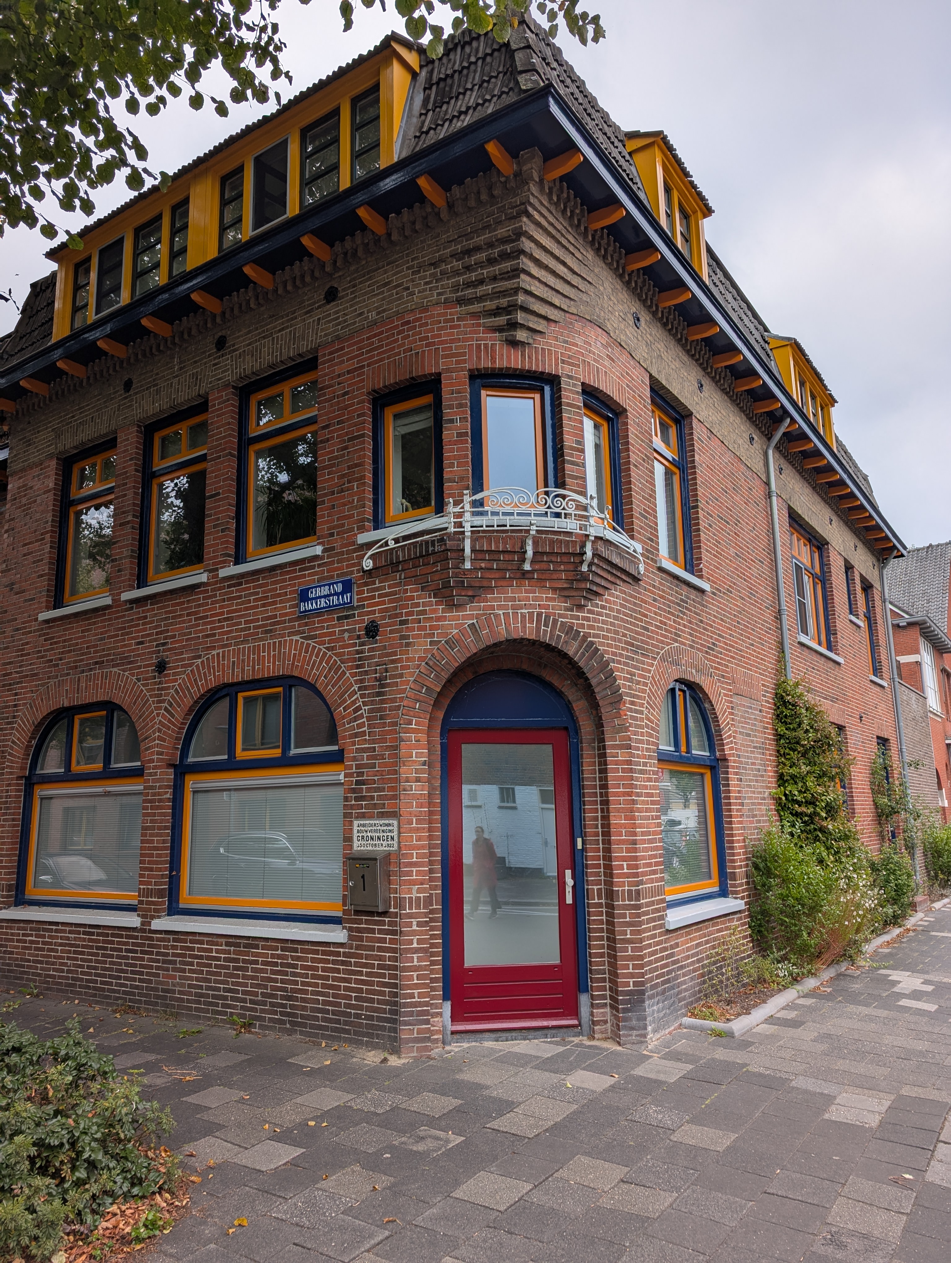
1922
1923
1924
1925

1926
1927
1928
1929
1930
1931
1932
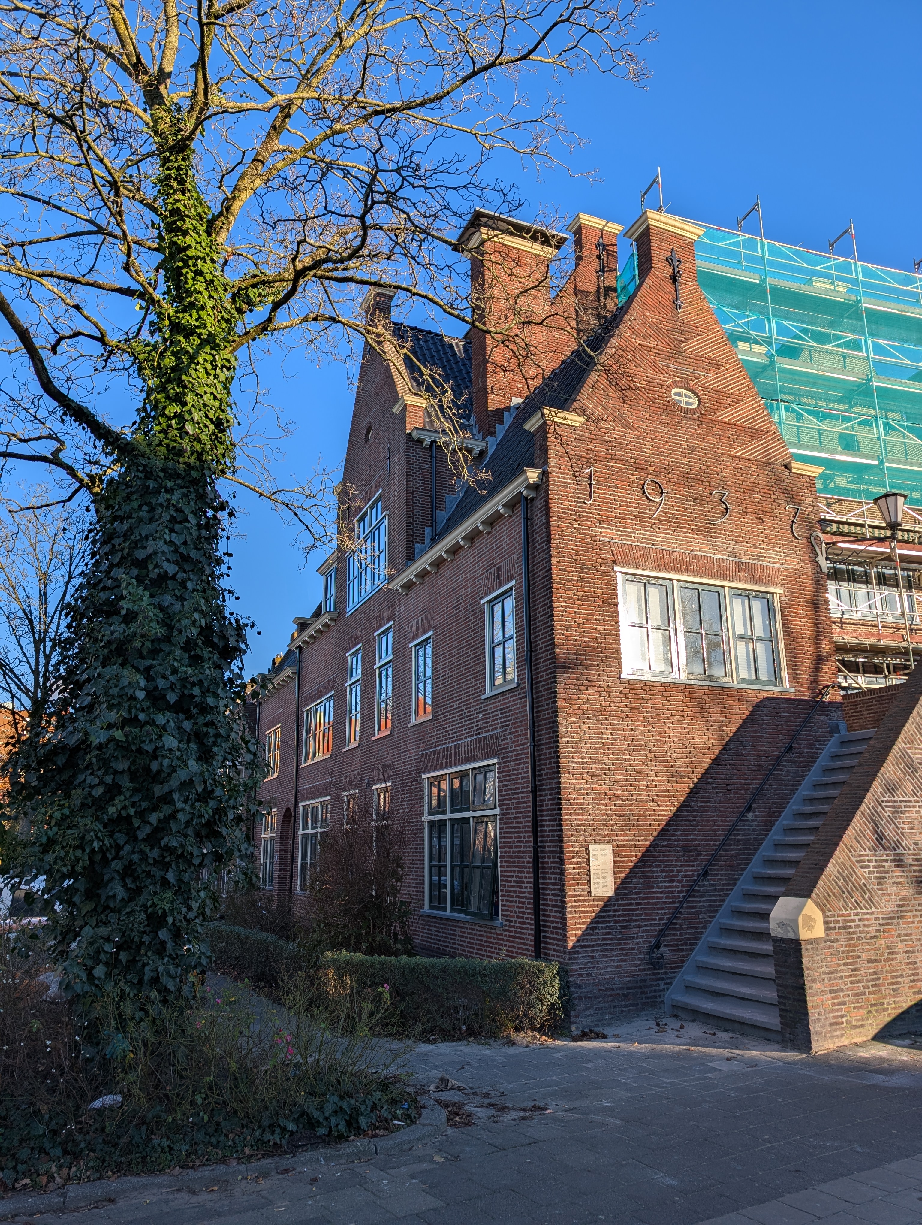
1933
1934
1935

1936
1937
1939

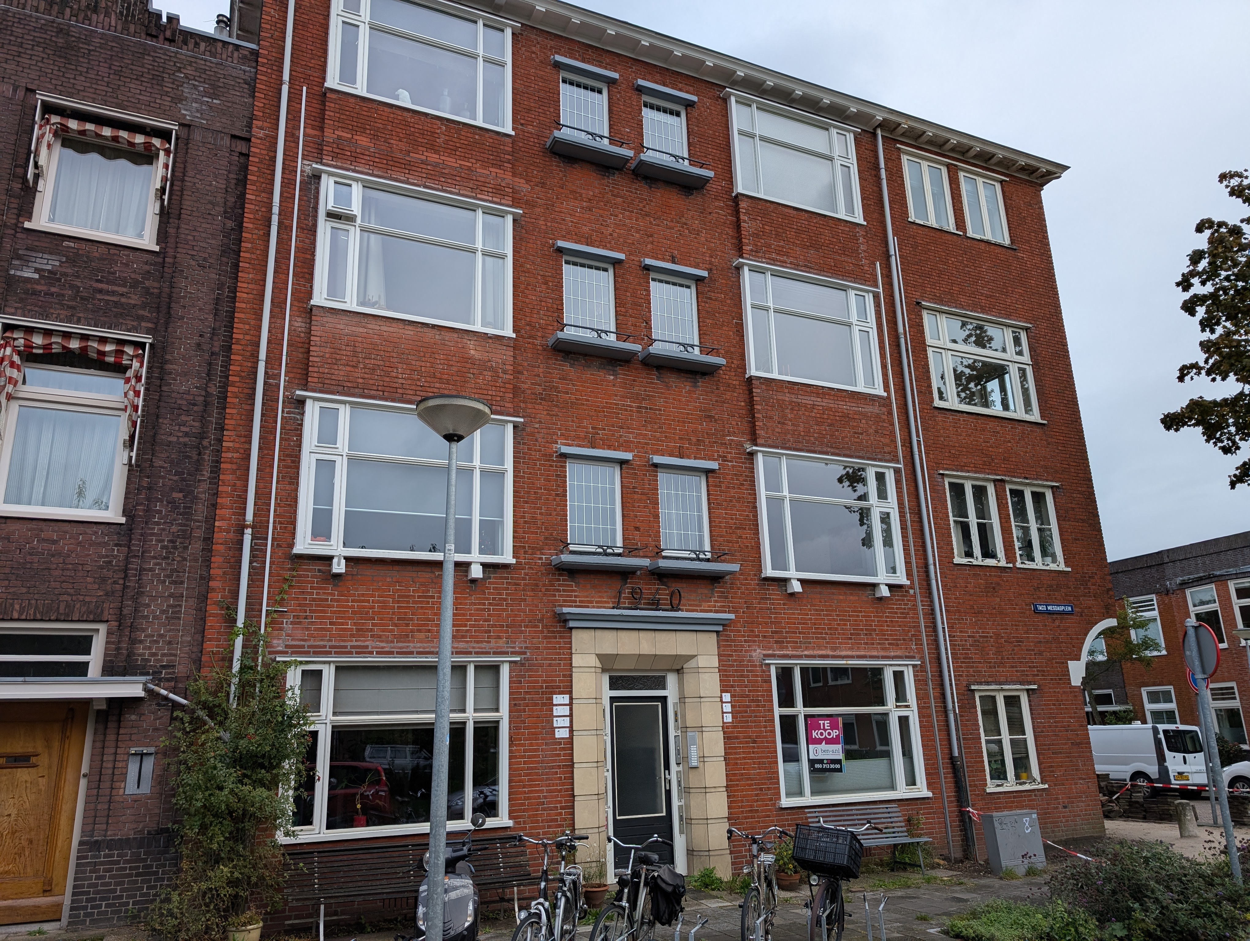
1940
1941
1942
1943
1944
1947
1948
1949
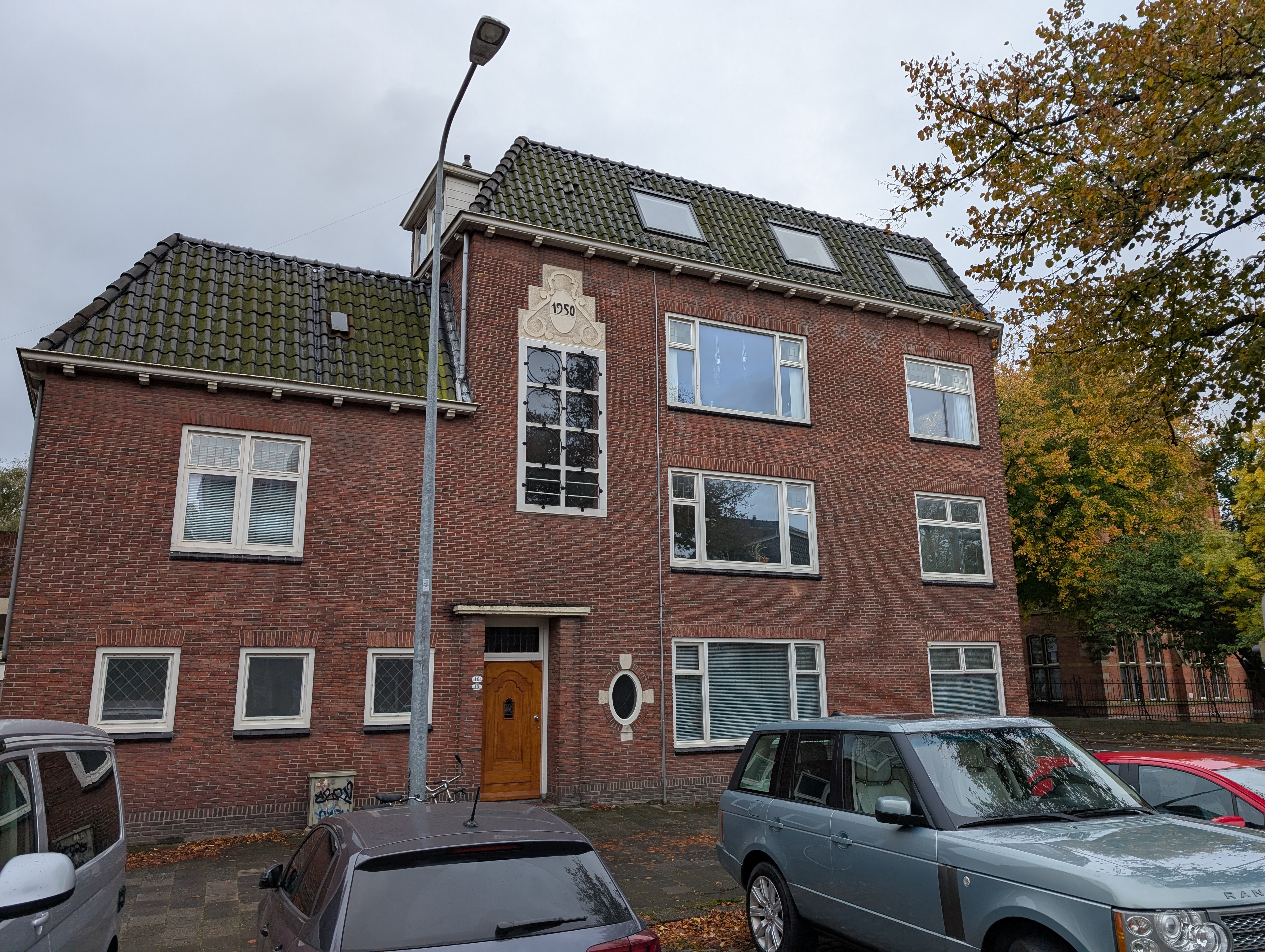
1950
1951
1952

1953
1954
1955
1956
1957

1958
1959
1960
1962

1965
1972
1974
1976
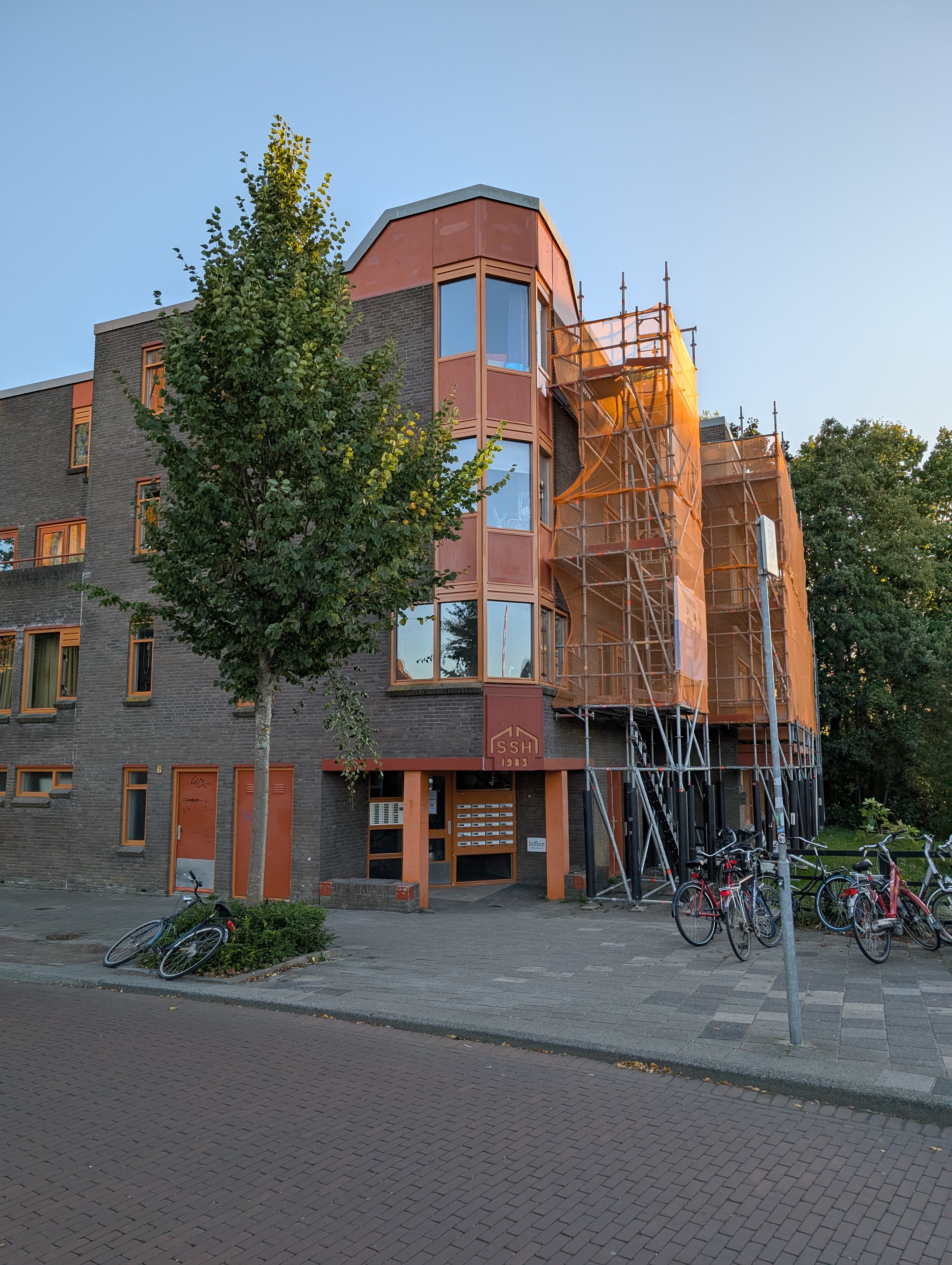
1983
1984

1988
1990

1993

1994
1995

1996
1998
1999